Europe is redefining the way we monitor and protect our planet. Thanks to the Copernicus programme, the largest European initiative for Earth observation, governments, companies and citizens can access reliable, open-source environmental data — essential for global sustainability.
A radar that never sleeps
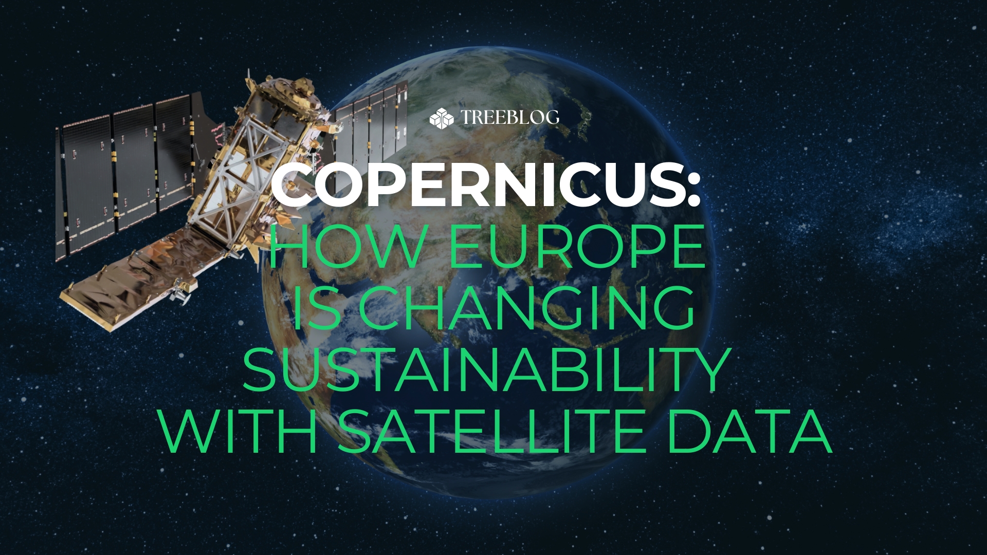
At the heart of this revolution are satellites such as Sentinel-1D, launched on 4 November 2025 from the Kourou spaceport. Equipped with synthetic aperture radar (SAR), Sentinel-1D “sees” day and night, in any weather conditions, capturing detailed images of land, forests, coastlines and glaciers.
This means constant, up-to-date data useful for monitoring floods, wildfires, landslides, maritime traffic and climate change. For researchers, environmental operators and sustainability-driven companies, having continuous and precise information means better forecasting, earlier intervention, and reduced environmental and economic risks.
A concrete boost for sustainability
The Copernicus programme provides data that can transform land management and natural resource protection. Thanks to satellite information, it is possible to:
- monitor deforestation and soil erosion with greater accuracy;
- optimise sustainable agricultural practices by analysing soil moisture and seasonal changes;
- respond quickly to natural disasters thanks to immediate radar imaging.
For companies, Copernicus data is a strategic asset.
Organisations like TreeBlock can use it to:
- produce more accurate and certified environmental reports;
- plan regeneration or environmental compensation projects based on detailed territorial analyses;
- communicate sustainability transparently, relying on public and verifiable data.
And that’s not all: the Copernicus system is free and accessible to everyone, allowing even SMEs to adopt space-based technologies without economic barriers.
Completing the picture, on 16 November 2025 Sentinel-6B was launched — a satellite dedicated to monitoring seas and ocean parameters. The data collected is essential for predicting the impact of climate change on coastlines and supporting informed decision-making on environmental risks and resource management.
A step forward for Europe (and for the planet)
With Copernicus and the Sentinel satellite network, Europe strengthens its technological autonomy and consolidates its leadership in the global sustainability challenge. From space, governments, companies and citizens can monitor the planet’s health and make better decisions to protect the environment — from land surfaces to the oceans.